User:Christa Sinz/photos/trip to Mali
From Sinz Family Wiki
< User:Christa Sinz(Difference between revisions)
| Revision as of 17:45, 22 April 2006 Michael Sinz (Talk | contribs) ← Previous diff |
Current revision Michael Sinz (Talk | contribs) |
||
| Line 1: | Line 1: | ||
| __NOTOC__ | __NOTOC__ | ||
| - | [[Image:Christa in Africa.gif]] | ||
| - | |||
| [[User:Christa Sinz/teaching in Africa|Return to the teaching in Africa page]] | [[User:Christa Sinz/teaching in Africa|Return to the teaching in Africa page]] | ||
| + | |||
| + | [[Image:Christa in Africa-a trip to Mali.gif]] | ||
| This series of photos is from my trip to [[wikipedia:Mali|Mali]] at the end of December 1998. | This series of photos is from my trip to [[wikipedia:Mali|Mali]] at the end of December 1998. | ||
Current revision
Return to the teaching in Africa page
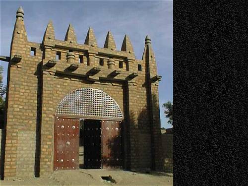
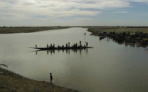
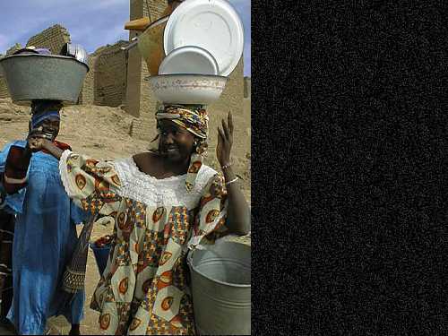
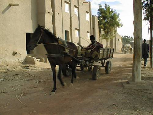
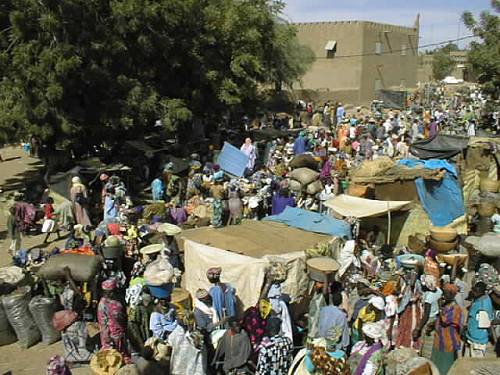
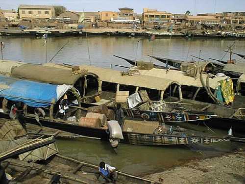
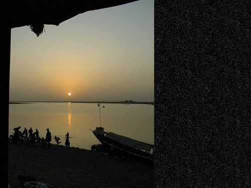
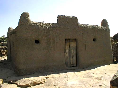
This series of photos is from my trip to Mali at the end of December 1998.
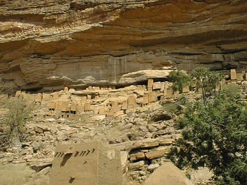
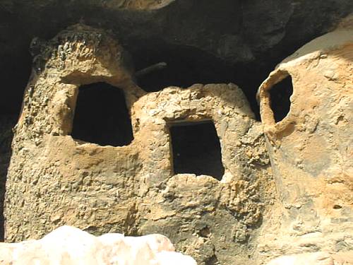
Cliffside dwellings above the village of Teli which have been virtually abandoned for the more prosaic settlements down in the flats. Pictured are not only the homes of the Tellem people, but also the granaries which are still being used to store millet and other supplies as well as the burial caves which are located in the cliff high above all homes.
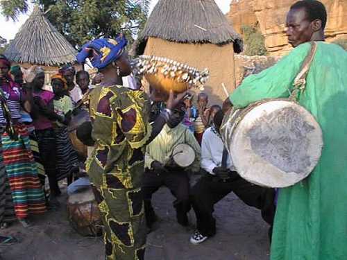
The village of Dourou at the edge of the Dogon plateau has three sections, one for each of the three common religions - Muslim, Christian, and Animist. This is a picture of the village people, wearing their most precious outfits, celebrating Christmas 1998. The entire village was involved in the celebrations ... young and old.

